Introduction
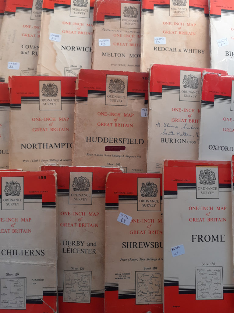
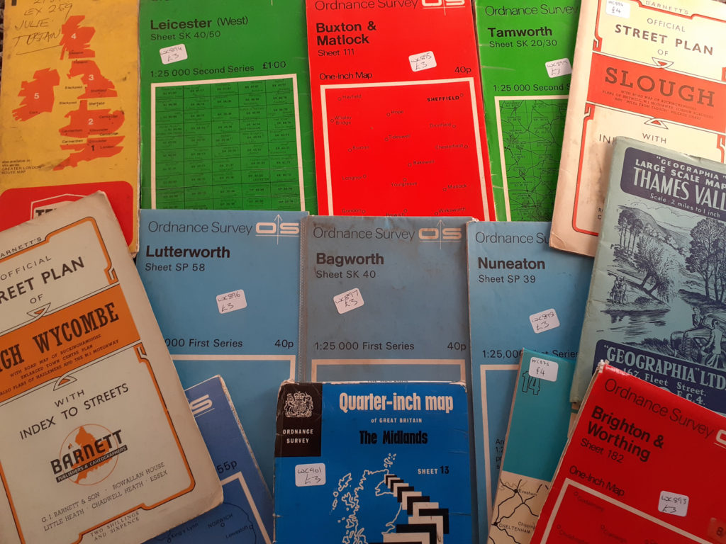
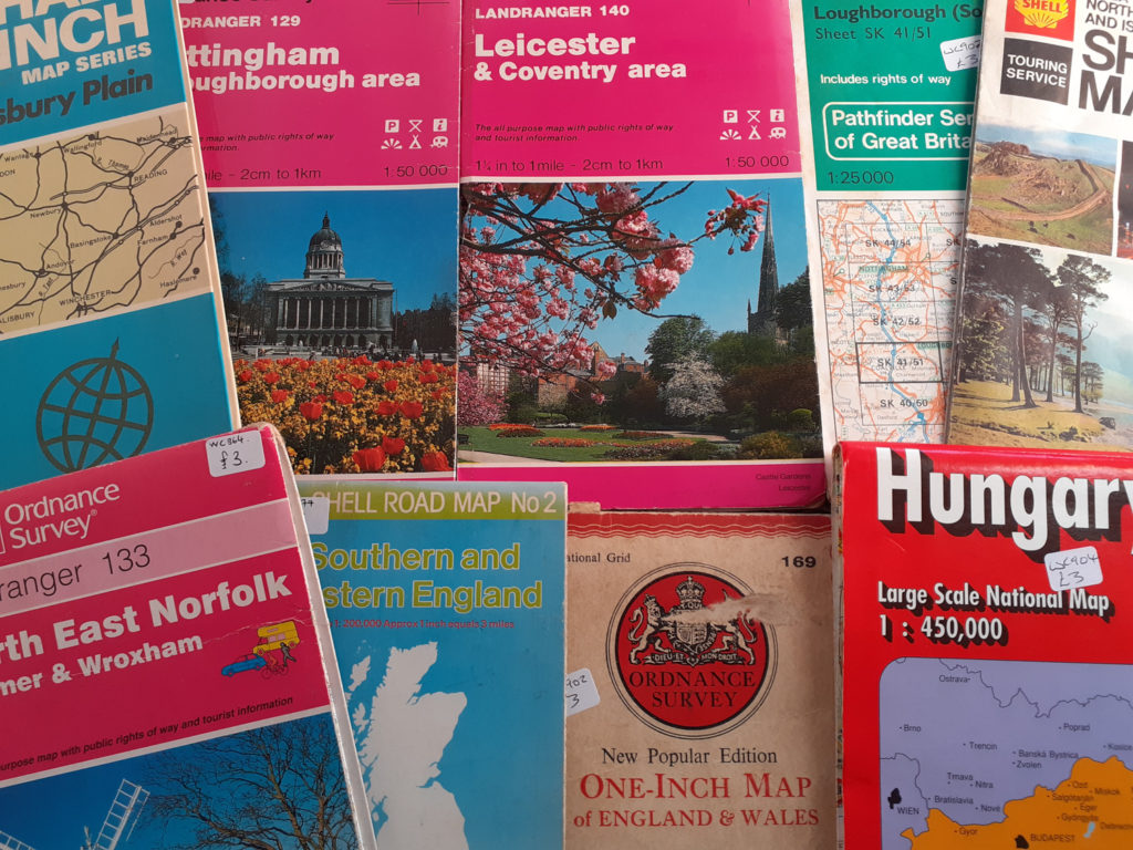
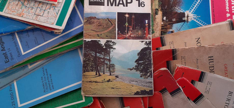
Ordnance Survey maps are such a useful tool. They provide digital map data for route planning, finding local businesses and residential streets. Usually these are large scale (to include more detailed mapping) or small scale (to show fewer detailed areas). Ordnance Survey is the national mapping agency, although today digital maps are produced there are still a lot of the old Ordnance Survey maps available. At Wildcard Curiosities we have a large selection of vintage Ordnance Survey maps for sale online (details can be found in the Where To Find Us section of this blog).

A Little History
The existence of the Ordnance Survey map began with Prince William Duke of Cumberland. This was following the rising of the Jacobite’s in 1745. Prince William had difficulty locating the Jacobite’s in the Highlands of Scotland due to lack of good maps. The British Army required more efficient maps for military purposes. Lieutenant-Colonel David Watson proposed the compilation of a map of the Highlands to assist with military practice. In 1747 King George II gave Watson the task of making a military survey of the Highlands. This was to be done under the command of the Duke of Cumberland. Watson was to have assistants to undertake this task by name of William Roy, Paul Sandby and John Manson. The outcome was a survey produced at a scale of 1 inch to 1000 yards (1:36,000). Since this first step in Ordnance Survey mapping the information contained in the maps, scales and availability have evolved.

Ordnance Survey Education and Point of Interest
From 1970s to around 1990’s Ordnance Survey maps were supplied within schools as part of Geography classes. Children would be taught how to read the maps, route plan and for the lucky children even put their new skills into action by way of a school field trip. There was a push in recent times with Ordnance Survey maps being given away for free. This was to all 11 year olds to encourage children understand the importance of maps. However by 2010 this scheme had sadly closed. The reliance of new more advanced digital map/route navigation is leaving the paper maps and much required skills in the past. I have to say I was pleasantly surprised when conducting my research for this blog to see the fantastic information and hard work still input by Ordnance Survey Limited. If you are interested in further historical information, information on how to read Ordnance Survey maps, getting out and about for walks and much more the below websites have so much to offer.
https://getoutside.ordnancesurvey.co.uk
https://www.ordnancesurvey.co.uk

Where To Find Us
Wildcard Curiosities is based in Freemen’s Common Antique Centre, 8 Counting House Road, Leicester, LE2 7LT.
The centre is open from Tuesday – Saturday 10am-5pm and Sunday 10am-4pm.
There is a café and toilets on site
We also have an online shop
